
3D mapping, another wonder of modern technology, is a new machine vision technology in the field of cartography. While we are already familiar with 2D maps and 3D vision, it is not hard to imagine how a 3D map looks like? Don’t let the curvature of Earth hinder your view and zoom in close to your location using 3D mapping.3D mapping means profiling of objects in three dimensions to map the objects in real-world. There are several ways for a 3D profiling of an area or object, such as using a pair of a stereo camera. Another method is to measure the depth of an object or feature from focus. You can also create a 3D effect by detecting the light field by plenoptic methods or using active 3D imaging techniques.
Advantage of 3D mapping over 2D technologyOne of the best benefits of 3D mapping is that it provides the latest technical methods for visualisation and gathering information. Knowledge visualisation and science mapping become easier when a 3D map is available for the object/area under study.A 3D map provides a realistic view of a location that can be utilised by local authorities and planners. For the construction sector, a 3D map is as useful as a blueprint is. It is very easy to visualise floor plans on a 3D map and identify possible obstructions which may occur during construction.When you have a 3D map in front of you, you enter a world of limitless imagination where you can experiment with many visual effects virtually before the final output. From determining the position of aircraft to making your event special with projection mapping, 3D mapping is working as a magical eye.
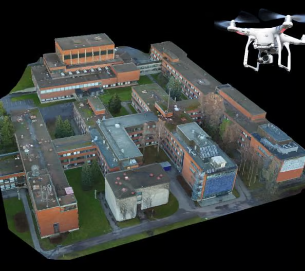
Keshar Mahal 3D reconstruction
Keshar Mahal
3D reconstruction of Keshar Mahal, Thamel was done for John Sandy Associates. The project involved UAV survey of the building.
Read More